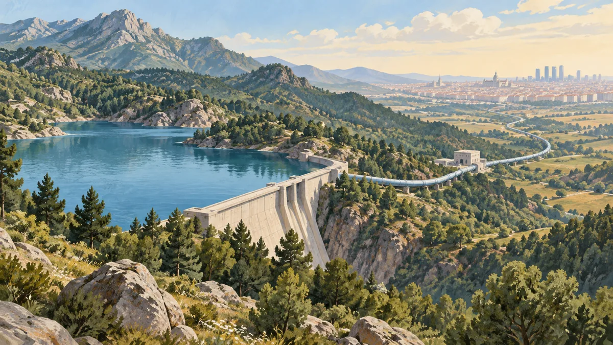
Vienna's spring water travels downhill from Alpine catchments, the mountain areas feeding its springs outside the city. A water main is a large supply pipeline. The First Vienna Spring Water Main draws from the Schneeberg, Rax and Schneealpe area. The Second brings water from the Hochschwab Massif in the Lower Austrian-Styrian Alps. Vienna Water describes the journey from these sources into the capital.
Gravity carries the incoming water, but the journey continues through reservoirs and a distribution network once it reaches Vienna.
Two routes from the mountains
The First Main was inaugurated on 24 October 1873. The city's historical account gives the original pipeline's length as 120 kilometres. Domestic wells were gradually replaced by communal taps in residential buildings.
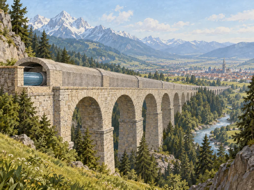
The Second Main opened on 2 December 1910. Its route extends for more than 180 kilometres from the Styrian Salza Valley springs to Vienna, crossing valleys and rivers with aqueducts, which carry water over low ground, and inverted siphons, closed pipes that dip into a valley and rise on the other side. The city gives an approximate spring-to-city flow time of 36 hours in its history of the Second Main.
These are two separate routes. The 120-kilometre figure describes the original First Main in a historical account; the longer figure belongs to the Second. Adding the distances would not describe one glass of water's journey, or identify which route supplies a particular flat on a given day.
Downhill to Vienna, then through the city
Vienna Water says that the natural fall in altitude brings spring water to the city without pumps on the incoming journey. The height difference also generates electricity. Its transport account explains why gravity is so useful on this route.
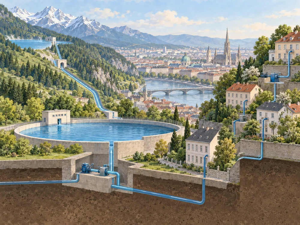
Delivering water around Vienna is another job. The municipal network has 31 reservoirs, including 29 within the city. They balance the available spring water against changing demand. Pressure zones reflect Vienna's different elevations, and pumping stations serve areas where natural pressure is insufficient. The city's distribution guide describes this arrangement.
That is why downhill transport from the mountains can coexist with pumping inside the urban network.
Keeping other resources available
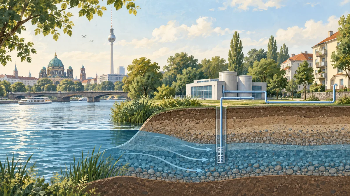
Mountain springs cover almost all of Vienna's drinking-water demand, according to the city. Groundwater remains available during repairs to a spring main, serious damage or exceptionally high demand in hot weather. The supply description gives no fixed daily percentage for every address.
The Vienna Water Charter also makes protection of the spring areas and forest soils a municipal priority. It sets out land-management policy, rather than laboratory results.
These municipal accounts explain the source, journey and distribution of the water. They leave a property's private installation to be considered separately. Our Vienna tap-water guide covers visitor use and that building-plumbing concern.