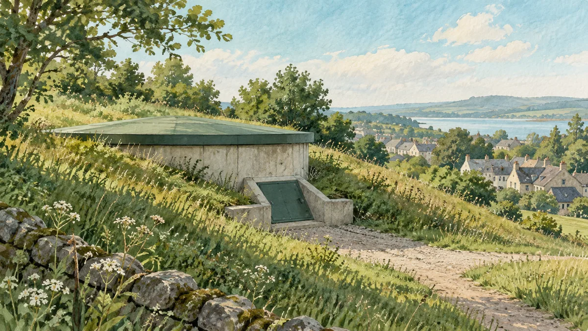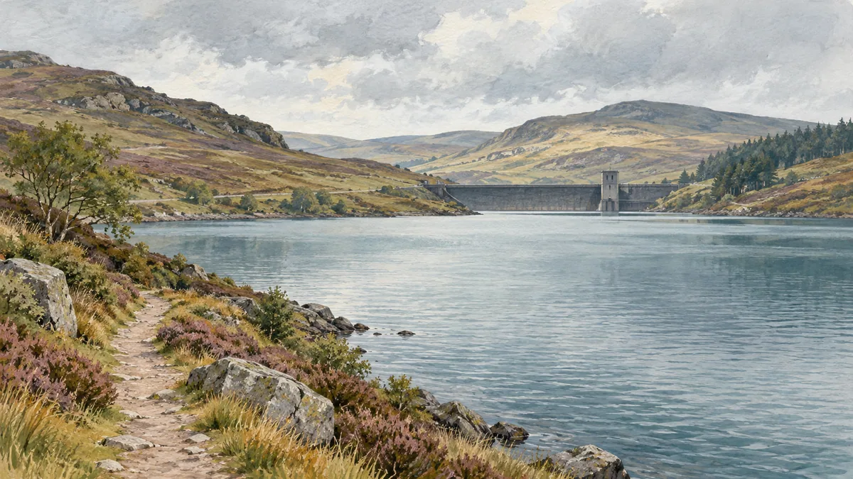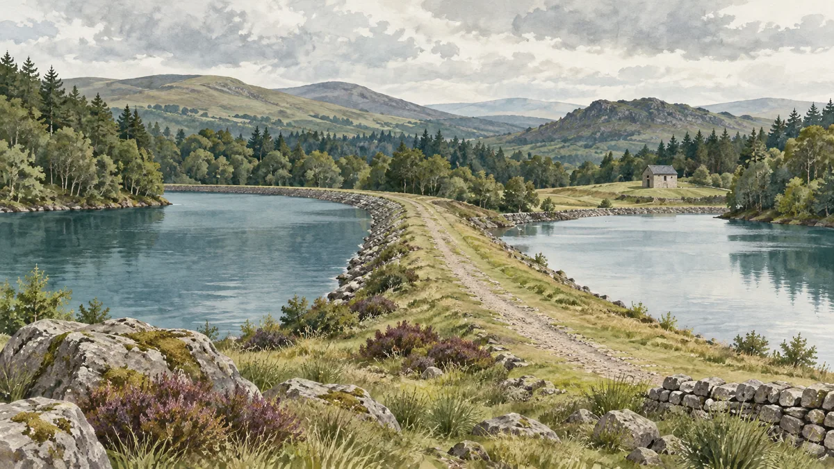
Milngavie's landscape includes working water infrastructure as well as places to walk. Scottish Water describes Mugdock and Craigmaddie as part of Greater Glasgow's water supply and as a place for recreation. The open water, treatment facilities and paths have separate roles. The operator's site overview
Both waterbodies belong to a supply site
The 2018 Historic Environment Scotland record calls them two collecting reservoirs. That is a dated description of their role, not a water-quality result. The heritage record
A view across a reservoir gives no measurement of present storage, source allocation or the condition of water after treatment. Those questions need dated operating records or quality results. Nor does seeing where part of the system sits identify what reaches a particular Glasgow address.
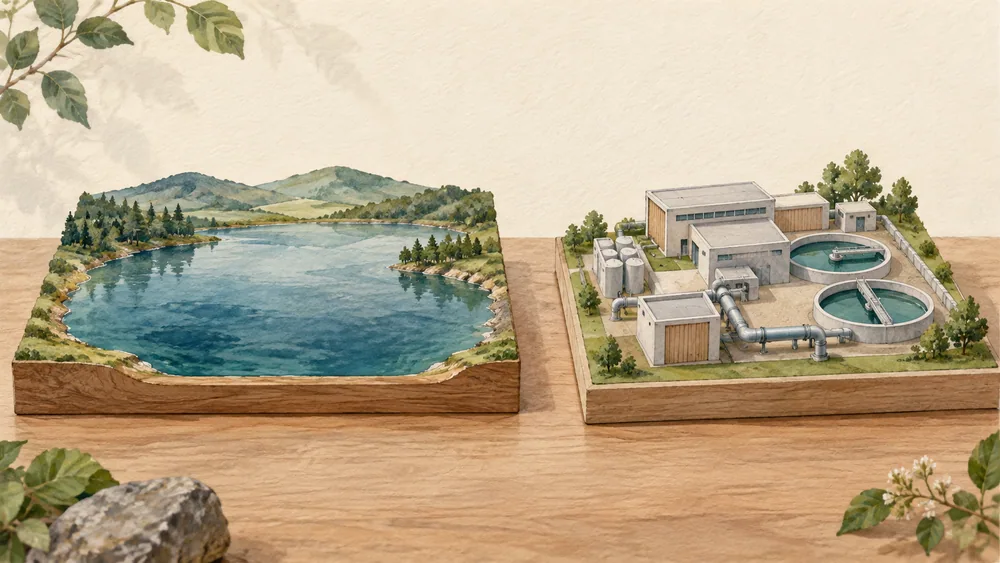
Storage and treatment are different places
A landscape plan prepared by LUC for Scottish Water in February 2024 distinguishes the reservoirs from the newer treatment development near Barrachan. It says the new treatment works in 2008 made former operational buildings redundant. The commissioned management plan
An old waterworks name can outlast the building's original job. The plan records changes that had already occurred, even where an older structure remains part of the landscape. Its appearance alone cannot identify the treatment process operating today.
The plan leaves potential building development or reuse to separate feasibility work. If you want to know whether a former works building is open to visitors, look for a later confirmation from the operator. The plan's reuse boundary
The landscape plan identifies sites and management needs. It does not provide a complete current treatment recipe or a household test result. Use its dated account to understand why the reservoir and treatment settings are separate.
Walking routes cross a working site
The 2024 plan describes access routes serving both pedestrians and reservoir or treatment operations. Scottish Water's visitor page says operational work can affect paths and that relevant closures will be advertised on site. Dated access description and current visitor guidance
Its rule summary prohibits activities including swimming, boating and dogs entering the reservoirs. A walking route beside water is not permission to enter that water or an operational enclosure. Check the operator's visitor information when planning a visit, then follow the notices at the site.
If a particular route matters to an accessible visit or a timed journey, check it with the operator before setting out. Keep an alternative in mind when planning: a drawing in the management plan does not describe conditions on the day you travel.
We have not verified which individual paths are open today. Some work notices have no clear year, so an older project notice cannot confirm a present closure or opening.
Landscape upkeep also serves operations
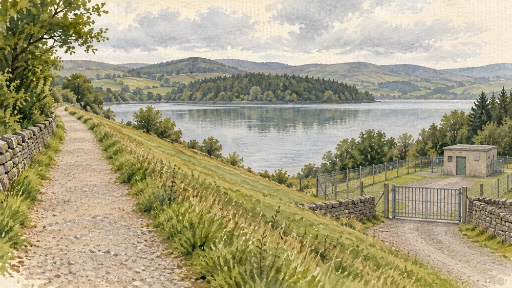
The landscape plan says short grass on the earth dams helps staff monitor their condition and identify changes. It distinguishes that work from other amenity and meadow areas. The dated grass-management guidance explains an inspection purpose. It cannot establish the dams' condition today. The grassland chapter
Our Glasgow city guide provides travel context. Use the operator's current information for the visit and an appropriately dated utility report for a drinking-water question at the address where you are staying.