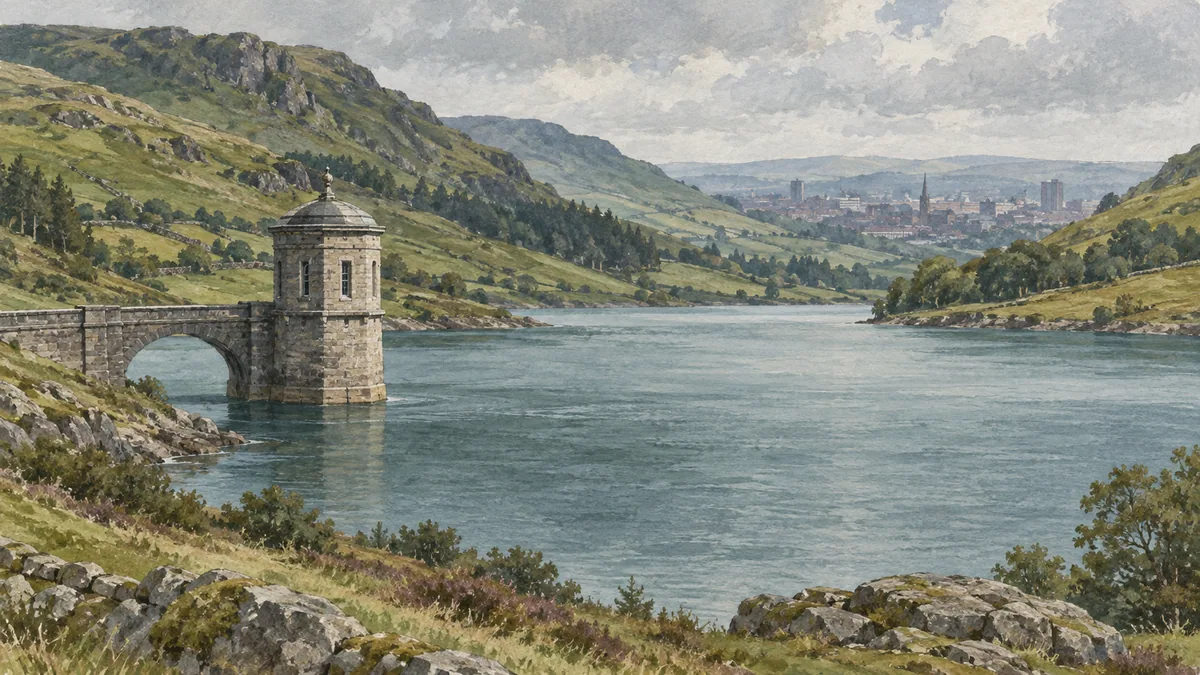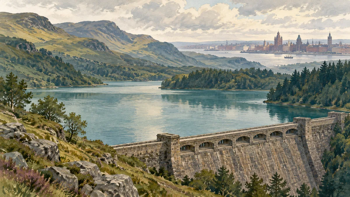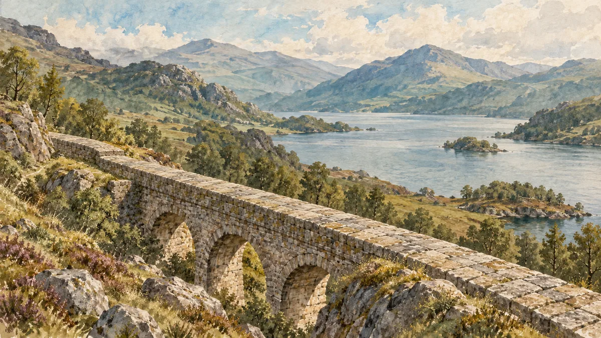
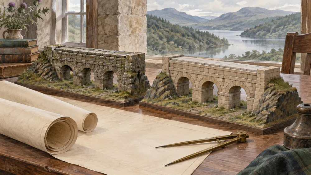
Loch Katrine's place in Glasgow history begins with a practical problem: how to bring a larger, more dependable supply to a growing city. The aqueduct carried water towards the city. Reservoir expansion and later changes in treatment and distribution extended the original works.
Dating each structure helps explain its place in the scheme. It also prevents a Victorian engineering record from being mistaken for a current report on the water in a particular Glasgow building.
Bringing a loch within reach
Historic Environment Scotland describes a growing city whose earlier wells, streams and river supplies had become inadequate. The municipal scheme followed an Act of Parliament in 1855 and used gravity to bring Loch Katrine water to Mugdock, then into Glasgow. John Frederick Bateman designed the scheme. The designated landscape's history
Bringing a distant source into use required a route, storage and a distribution arrangement. An aqueduct or reservoir makes more sense when its role in that scheme is clear.
Queen Victoria formally opened the works in 1859, while full operation followed in 1860. These are separate milestones in the listed reservoir record, even though a shorter passage also uses an opening date differently. Keeping the royal ceremony apart from full operation avoids making the chronology more definite than the record allows.
The first scheme and a second line
A further Act in 1885 supported a second aqueduct and additional storage. The reservoir listing dates Craigmaddie construction between 1886 and 1896. Those later works show why the first opening should not be treated as a frozen description of the entire system. Expansion history and the reservoir listing
The records describe a scheme that was enlarged rather than simply replaced in one moment. For a visitor interested in the engineering, an old name may refer to one stage of those works, while a nearby structure belongs to another. A date attached to the specific structure is more useful than assuming everything was built for the first opening.
The Achray dam record describes substantial rebuilding in 1902 and an extension in 1919 as loch levels were raised. Achray controlled the outflow from Loch Katrine towards Loch Achray. It was not the aqueduct itself. Achray's dated heritage record
A dam managing a loch's outflow has a different job from a conduit carrying water towards the city. A heritage entry can explain an asset's role without telling us its current flow, condition or public access.
Treatment continued to change
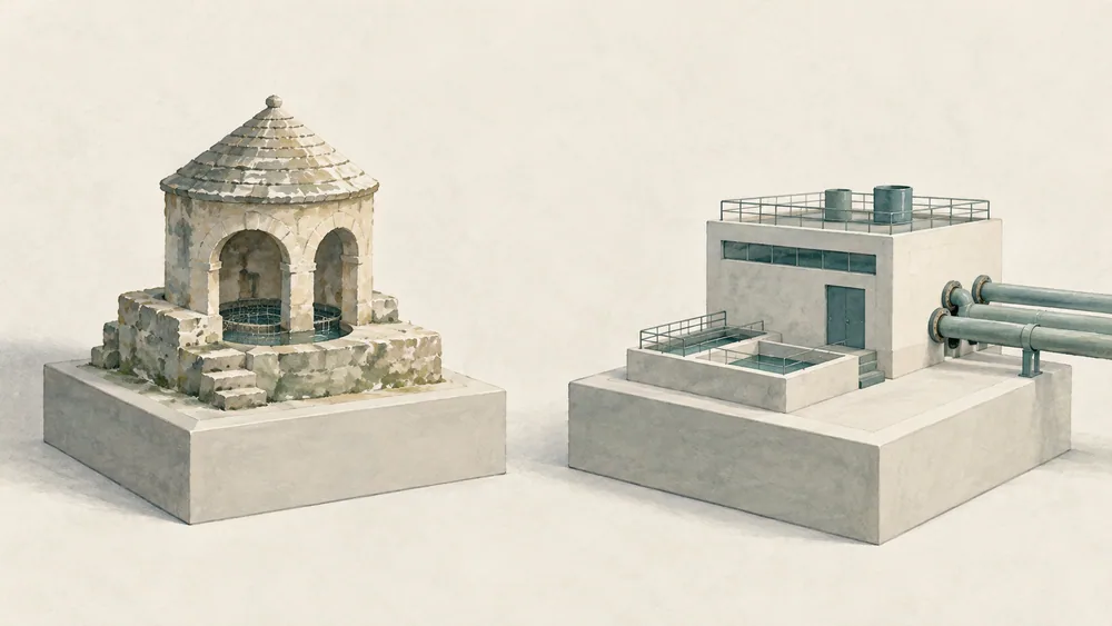
The listed reservoir record says the old straining wells remained in use until 2007. That end date is a historical detail, not a complete description of today's treatment. The old straining wells
A contributor-authored C1a account published on 17 August 2021 describes treated-water trunk-network work linking Katrine and Gorbals distribution storage, with treatment at Milngavie. That account expected completion in 2023. It does not establish that the work was completed or describe today's operating configuration. The dated project account
The distinction between the historic aqueduct and a modern treated-water main is more useful than treating them as one unchanged piece of infrastructure. They answer different questions about where water travelled and what had happened to it along the way.
What this history can answer
These records explain construction, expansion and historical roles. They supply no current source percentage or test result for your tap. Use our Glasgow city guide for travel context, then seek a dated utility result for a present quality question. Keep the heritage chronology separate from the current utility result.