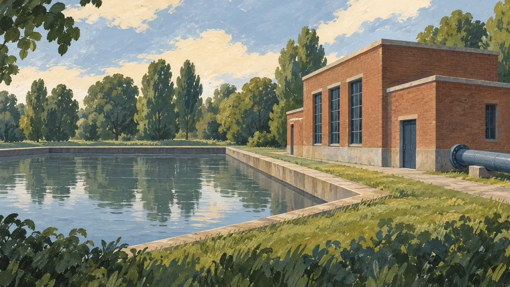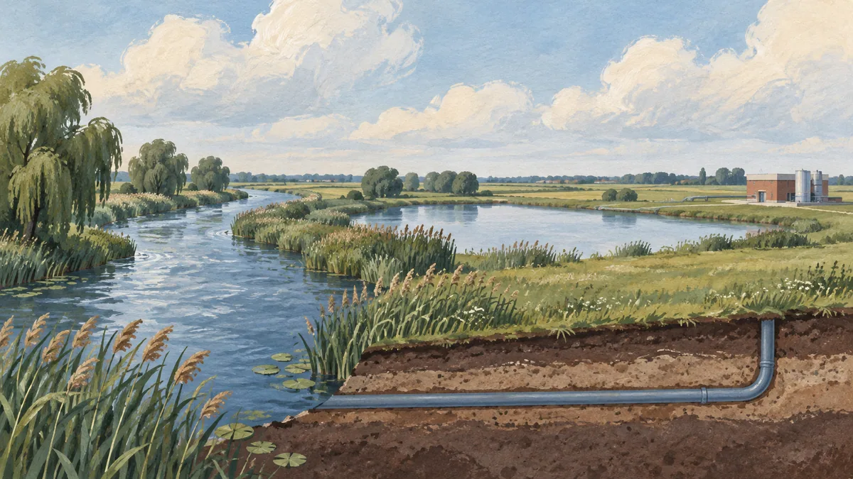
To trace Rotterdam’s drinking water, start with the connections Evides publishes. Its service map shows the regional territory and facilities. Its reservoir and treatment descriptions explain the stages between the river intake and the finished supply. A river, dock or works near a building cannot establish that building’s route on its own.
Use the service map for its actual scope
Evides lists Rotterdam, including Hoek van Holland and the ports, in its northern service region. The map on its delivery page labels Kralingen, Berenplaat and Petrusplaat. Evides says the site symbols cover locations making drinking water and/or industrial water. Its delivery page also distinguishes pumps carrying raw water to treatment sites from pumps delivering drinking water into the network. The delivery page and map.
A location marked on this map is not proof that it supplies one particular Rotterdam address. It is a useful overview of the provider’s territory and facilities, not a street-level tracing tool. Keep the map’s scale and legend in view before turning nearby names into a supposed route for your accommodation.
Follow the raw-water system
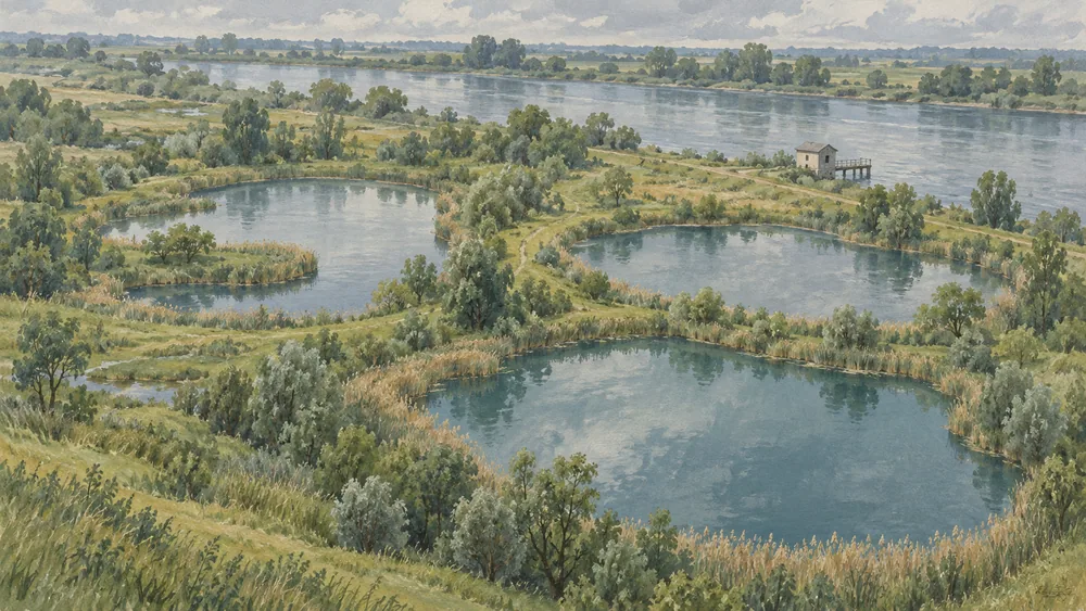
Evides names De Gijster, Honderd en Dertig and Petrusplaat as its three Biesbosch reservoirs storing water from the Maas. Its Biesbosch page says the Bergsche Maas intake pumping station officially entered service on 7 July 2021. The reservoirs support storage, selective intake and natural pretreatment before water is made into drinking or industrial water. Evides’s reservoir description.
The utility’s article of 1 December 2025 describes the Rijnmond, Westland and Zeeuws-Vlaanderen route as using surface water, mainly from the Maas. It describes storage and natural pretreatment in the Brabantse Biesbosch, followed by pipelines to Berenplaat, Kralingen, Baanhoek and Braakman for further treatment. The regional source account.
Those named works are destinations in the regional system, not four stages that every Rotterdam glass passes through. The account distinguishes the river intake, reservoir storage and onward treatment. It does not mean the river water is ready to drink when it leaves the reservoir, or that storage replaces the further treatment described by Evides.
Separate the normal route from backup storage
In an article dated 1 August 2025, Evides identifies the basin at Kralingen in Rotterdam as emergency stock for drinking-water production. It says the basin contains pretreated river water and that the normal raw-water feed comes directly from the Brabantse Biesbosch reservoirs. The Kralingen site account.
That detail prevents a tempting mistake: a basin visible beside a treatment works is not automatically a compulsory stop on its normal supply route. Here, the provider expressly describes a different role for the local basin. The two 2025 articles describe system roles rather than today’s intake settings or the measured blend at a customer tap.
If you need the production site serving a property or the current operating arrangement, ask Evides for that location’s information. No address-level allocation or private-tap result was obtained here. Our Rotterdam water guide provides general visitor context; a source-route article cannot certify the building’s installation.
The Amsterdam dune-water explanation follows another published supply journey. Use each provider’s own connections when reading such accounts, with the intake, intermediate storage and final treatment kept in their proper roles.