Denver Water brings mountain snowmelt towards the city from several watersheds, areas of land where water drains towards a shared river system. Its sources lie on both sides of the Continental Divide, the mountain boundary between eastward and westward drainage. The National Park Service explains that divide in the Rockies. Two tunnel routes help connect Denver's sources: Moffat in the northern collection system and Roberts farther south. The journey extends well beyond the city.
The utility's collection-system overview names the upper South Platte, upper Blue and Bear Creek watersheds in the South System. The North System includes the upper Williams Fork, upper Fraser, South Boulder Creek and Ralston watersheds.
Across the Divide through Moffat
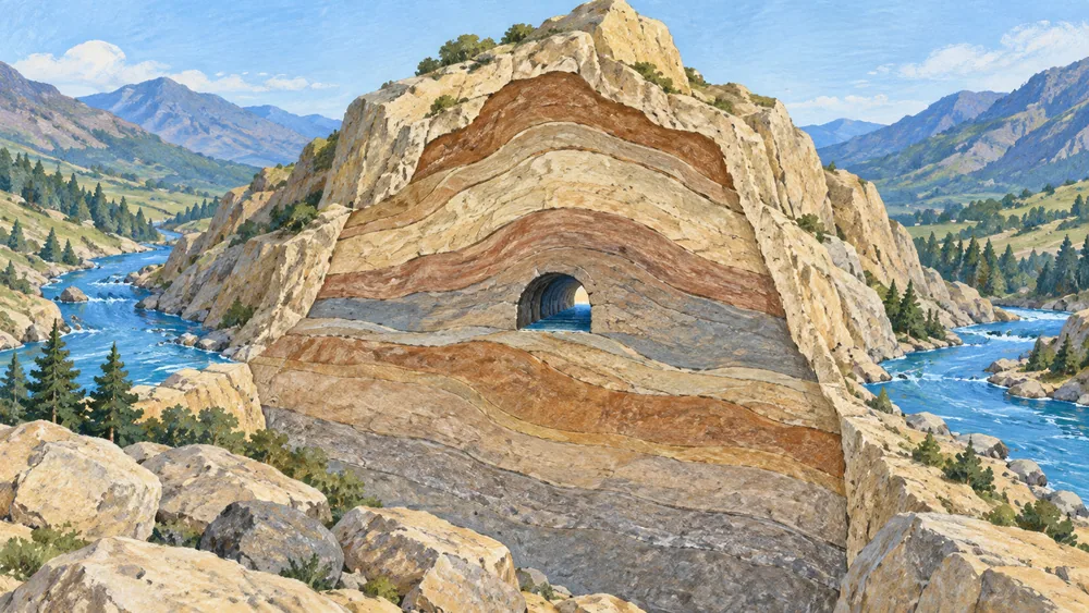
The Moffat water tunnel runs beside the railway tunnel. Denver Water's historical account follows Fraser River water from the West Slope towards the South Platte system on the Front Range. Water first flowed through the partly lined tunnel in June 1936.
Use the official Water Collection System map, dated 30 December 2022, to place the route. Its legend distinguishes the South Platte, Roberts Tunnel and Moffat collection systems, and uses different symbols for the Continental Divide, rivers and engineered canals or tunnels. A tunnel or canal line is not a naturally connected river, and the water tunnel is separate from the railway bore.
The map is a regional guide to the connections, rather than a record of a particular day's flows.
From Dillon through Roberts Tunnel
Roberts Tunnel connects Dillon Reservoir with the North Fork of the South Platte. Denver Water's North Fork account follows the water downstream to Strontia Springs Reservoir before treatment.
The tunnel's operation depends on demand and legal decrees. The utility describes wet conditions in 2023 when it stayed off. That example explains an operating decision in that year; it gives no current opening time or flow forecast.
Why every reservoir is not on the route to a tap
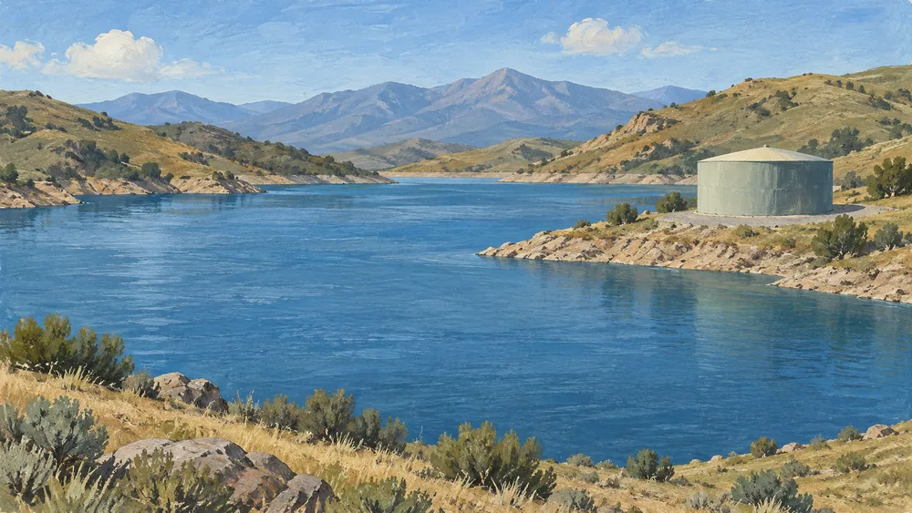
Denver Water identifies Williams Fork and Wolford Mountain reservoirs as exchange and replacement storage. Their water is stored and released for those arrangements instead of flowing to Denver Water's treatment plants. The collection-system overview makes that distinction, so listing every reservoir the utility owns would not trace a household's drinking-water journey. The utility's downstream-storage explanation gives an example of an exchange: it can release stored water to a downstream user with an earlier water right and keep an equal amount in mountain storage or divert it at a treatment-plant intake. That example explains the arrangement, not a direct route from Williams Fork or Wolford to a tap.
Treatment and delivery infrastructure have changed too. Denver Water celebrated Northwater's completion in June 2024. Its account describes a new pipeline carrying treated water to the Moffat facility, modified to store and deliver it.
Read the map with the newer reports
The collection overview still includes older wording describing Northwater as under construction for 2024. Keep that wording and the map's 2022 date separate from the completion account. Neither establishes today's watershed proportions for an individual address.
For drinking-water results, use the utility's 2026 Water Quality Report and the year attached to each table. Its main regulated-contaminant results describe 2025. A collection map and an annual report also leave individual-building questions unresolved.
Our Denver guide provides broader travel context. Ask the property operator about any notice affecting your stay, alongside reading how the regional system works.