
Philadelphia's drinking-water-treatment map helps readers follow a supply from river to treatment plant and into a service area. Its mixed areas are part of that answer. Choosing one plant for every address would lose information the Philadelphia Water Department includes in its own explanation.
The map appears in the 2025 Drinking Water Quality Report, alongside an address-entry tool. Use that official page when you want a supply-area answer for a particular place; a city's general description cannot identify a hotel's connection.
The map separates three treatment routes
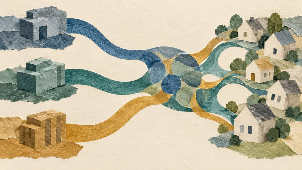
Baxter draws water from the Delaware River. Queen Lane and Belmont draw from the Schuylkill River. The report identifies three treatment plants and explains that some service areas receive water from multiple plants.
Find the relevant service area and check which plant or combination the department shows. A nearby river or familiar neighborhood name is not enough to choose the route yourself.
For a visitor comparing two places to stay, this information can answer a question about the supply system. It does not by itself rank those properties' plumbing or explain a particular glass of water. Keep the map answer beside the separate question you actually need to resolve.
Mixed shading is part of the answer
The report's simplified map describes general service areas. It places South Philadelphia and Center City among areas receiving a Baxter and Queen Lane mix. The map does not give a live numerical blend for an individual tap.
If an area is shown as mixed, record that description without turning it into an invented percentage. Two colors on a map do not mean equal contributions. Their visible area on the screen is not a measurement of the water passing through a connection.
An address near a shaded boundary deserves an address lookup rather than an estimate from a screenshot. Check that the result belongs to the complete street address. If the tool gives an unclear result, ask the department about that location instead of moving the marker until a preferred plant appears.

Source water and tap results are separate records
The department's source-water information describes the Delaware and Schuylkill watersheds and pollutants carried by runoff. That concerns water reaching the rivers. A river observation alone does not establish a result for treated water at a customer's tap.
The drinking-water FAQ describes continuous plant testing and daily tap-water sampling around the city. Those are testing activities with locations and dates, separate from a treatment-area map.
When reading a result, look for the sampling point. A plant result, a distribution sample and an investigation at a building should retain their stated scope. If you are asking about an unusual condition at your accommodation, give the department the address and describe the condition; naming the mapped plant is background information.
Use the map with an address and a date
Keep a note of when you consulted the map and which address you entered. The report is the 2025 edition, but that year alone does not establish a refresh date for the interactive map layer. The page's map explanation does not publish an address-level error margin or a current blending percentage.
Save the result's wording with its color so a later screenshot still identifies the supply description. The Philadelphia city guide offers general visitor guidance; the department's own lookup is the route for a treatment service-area question.