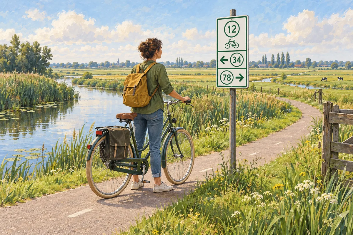
Dutch cycling junction numbers let you plan a ride by joining points on a map. A junction, called a knooppunt in Dutch or knooppunten in the plural, is a place where cycle routes meet. Follow the signs to the next number on your list. At that junction, switch to the following number.
Choose a route on the map
Choose where you want to start and the places you want to see. You can follow an existing junction route or plan your own by joining points. For a circular ride, check that the last connection returns to your starting point.
On the current Dutch Fietsersbond planner, select Via knooppunten for a junction route. Show the junctions on the map, then click a point. Van sets the start, Via adds an intermediate point, and Naar sets the finish. Add your points in riding order: the planner's help warns that you cannot simply swap their order afterwards.
Write the numbers and check the distance
Copy the complete sequence, including any intervening junctions the planner adds between the points you chose. ANWB calls these "via" junctions. Its junction-planner guide also suggests writing the numbers on a note attached to the handlebars. Save the route map too, and mark the start so you can find the end of your loop.
The numbers identify junctions, not kilometres. Junction information panels show the distance to the next point. Use the distances on your route map or a panel to work out the length of your planned ride.
Allow for the ride from your accommodation or station to the first numbered point and for getting back afterwards. Those trips may add distance beyond the loop on your map.
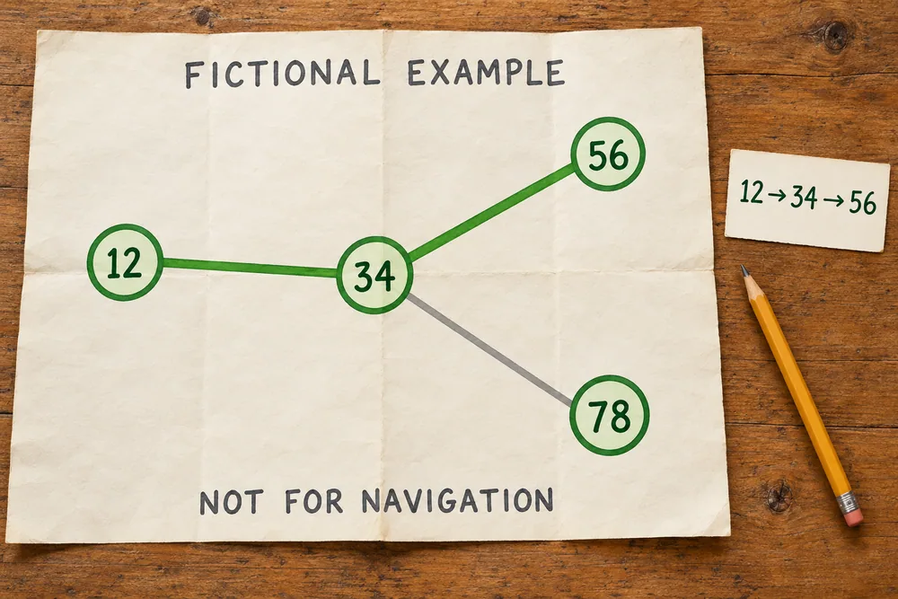
Follow the next number
Look for the green-and-white junction signs and follow the arrow for the next number on your list. Keep following that number until you reach its junction, then look for the following one. The connections are signed in both directions, so decide which way round you are riding before setting off. The numbers on your list do not have to increase.
LF means Langeafstand Fietsroutes, or long-distance cycle routes, intended for multi-day rides. You can follow an LF route in its own right; junction numbers identify individual points in the network.
If you miss a sign
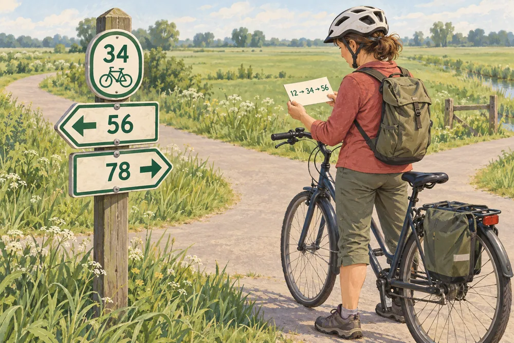
Stop somewhere safe before checking directions. Find your position on the saved route map. Check the last junction you can confirm and which point you meant to reach next. Follow a connection shown on the map or retrace your way to a confirmed junction instead of guessing from the number alone.
You can also shorten or change your ride at a junction. Check the new connections and distance, then update the remaining sequence before continuing.
For a damaged or missing sign, ANWB directs reports to MeldpuntRoutes, which forwards them to the relevant region.
Keep your route list handy
A handlebar map holder can carry a printed junction list or route map. Check how it attaches to your bicycle and which paper size it takes before buying. A list in your pocket also works. Stop somewhere safe before reading directions.
🛒 See bicycle map holders on Amazon →Amazon paid link