Follow the National Trust’s 3-mile (4.8 km) Walk to the View from Bath Abbey, Kingston Parade, to Bathwick Fields and back. The Trust estimates 1½ hours for this circuit.
Choose the short circuit
The Bath Skyline visitor page separates this walk from the six-mile Bath Skyline route. Both trails use “Skyline” in their names, so check the trail title when downloading directions. Save the official directions before leaving so you can check each turn without searching for the route again.
The visitor page listed countryside opening from dawn to dusk when checked on 20 October 2026. Plan to finish in daylight, and check the current information before your visit.
Follow the city streets and canal
Go via Pulteney Bridge, Great Pulteney Street and Sydney Gardens to the canal. At lock 13, the route climbs through Sydney Buildings towards the field viewpoint. Use the detailed route for the crossings and turns.
The towpath is the path beside the canal, shared with other users. The Canal & River Trust’s code gives pedestrians priority and asks cyclists to slow down for others. It also calls for extra care when passing people, pets and wildlife, and respect for people boating or fishing. When checking your directions, stop where others have room to pass. Take litter home, as the code requests.

Return with the grazing diversion in mind
The normal return crosses Richens Orchard, then heads back through Sydney Buildings to the canal and North Parade. York Street leads back to the Abbey. See the return stages.
Check the return before entering the orchard: the Trust’s grazing guidance says Richens Orchard closes to walkers while sheep are grazing, with a diversion to follow. Watch for local notices identifying grazing areas. Use the diversion when directed; the normal route description does not confirm that the orchard is open on the day you walk.
Check the access barriers
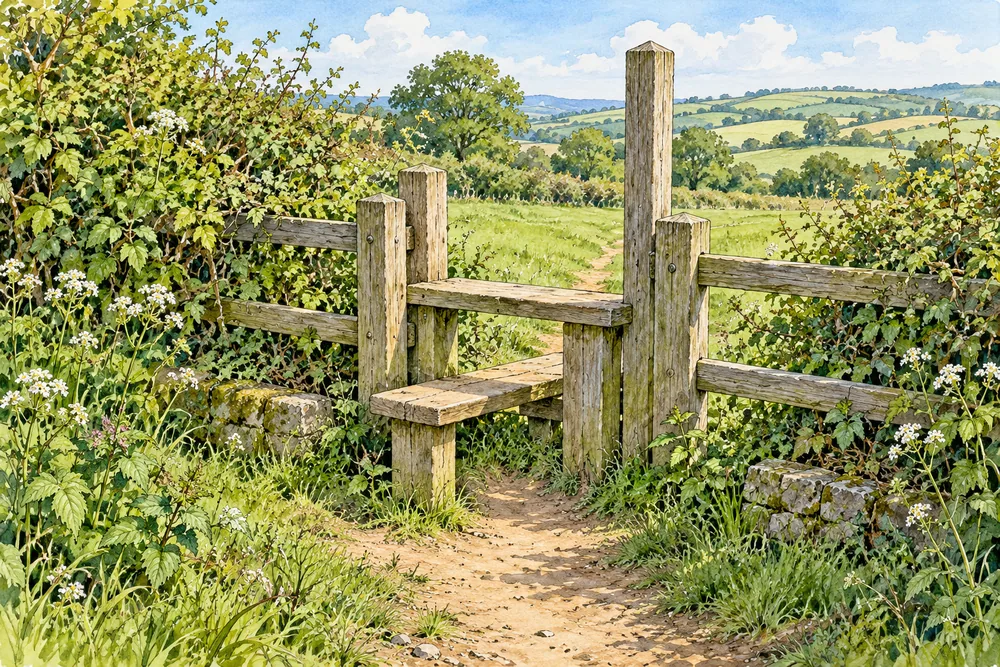
Although graded easy, the short route includes steps, kissing gates, a stile and an uphill section across a field. A kissing gate is a pedestrian gate within a small enclosure; a stile must be climbed over.
If you use a wheelchair or pushchair, or have difficulty with steps, ask the National Trust about those barriers using the visitor page’s contact details before setting out. Discuss the complete circuit, including any diversion.