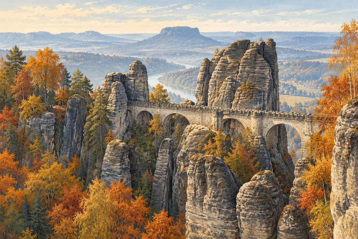
Take the S1 from Dresden to Kurort Rathen, cross the Elbe by ferry and walk up to the Bastei on the Basteiweg. Rathen's official arrival guide gives the rail connection; the national park's access notice confirms the approach from Rathen.
Check the paths before choosing a walk
The park's update of 8 October 2026 says the Basteiweg from Rathen, the Bastei bridge and the main viewpoint are open. It also lists closures on nearby paths, including the lower Amselgrund between Rathen and the Schwedenlöcher junction. An older circular walk may therefore send you towards a closed section. Use the direct Basteiweg out and back. If you add another path, check its whole course against the current closure map first. Read the park's Rathen update and check its current trail information before travelling; follow barriers and diversions on the ground.
Check the forecast before setting out. The park's hiking guidance warns that fog, snow and slippery conditions can make a route harder, and advises cancelling if a thunderstorm threatens. Choose another day if conditions exceed your experience.
Take the S1 to Kurort Rathen
Start your rail search with Dresden Hauptbahnhof, the main station, and Kurort Rathen as the destination. The municipality describes the S1 towards Schöna as the connection from Dresden. Check the actual departure and any service changes for your travel date through the rail information linked in the municipal arrival guide.
Save a return connection as well as the outward one. Leave room in the day for the ferry, the climb and a pause at the viewpoints.
Buy a separate ferry ticket
From the station side of Rathen, cross the Elbe to reach the Bastei approach. The municipality says that VVO tickets (for the local transport network) and the Deutschlandticket are not valid on this ferry. Budget for the crossing separately, even if your rail journey is already covered by a pass. Check the current fare and operating hours on Rathen's ferry page, including the return crossing.
When choosing your train back to Dresden, allow for the ferry wait, the crossing and the walk from the river to the station.
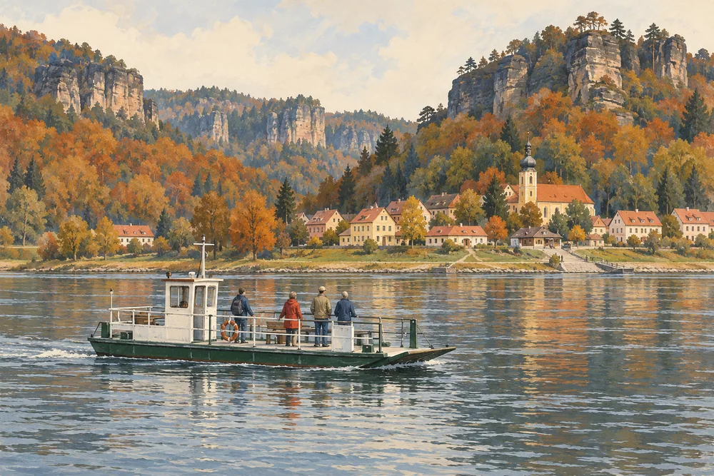
Walk up by the Basteiweg
After crossing, follow the signs for the Basteiweg to the Bastei. The tourism association's walking booklet describes steps on this path. Treat it as a hill walk and choose a pace that leaves you comfortable for the descent. If you need a step-free route, check a different approach before choosing the Rathen climb.

Pack for the climb and the return
Wear sturdy shoes and take weatherproof clothing. The park's hiking guidance recommends food, drinking water, a map and a headlamp, with a charged phone and power bank. Keep the load practical for a day walk and allow for a delay on the way down.
A rain jacket for the daypack
If you need a rain layer, compare hiking rain jackets and check fit, hood coverage and the seller's stated weather protection. This is a category search; no jacket has been tested for this article.
🛒 Browse hiking rain jackets on Amazon →Amazon paid link